GIS Workflow Toolbox
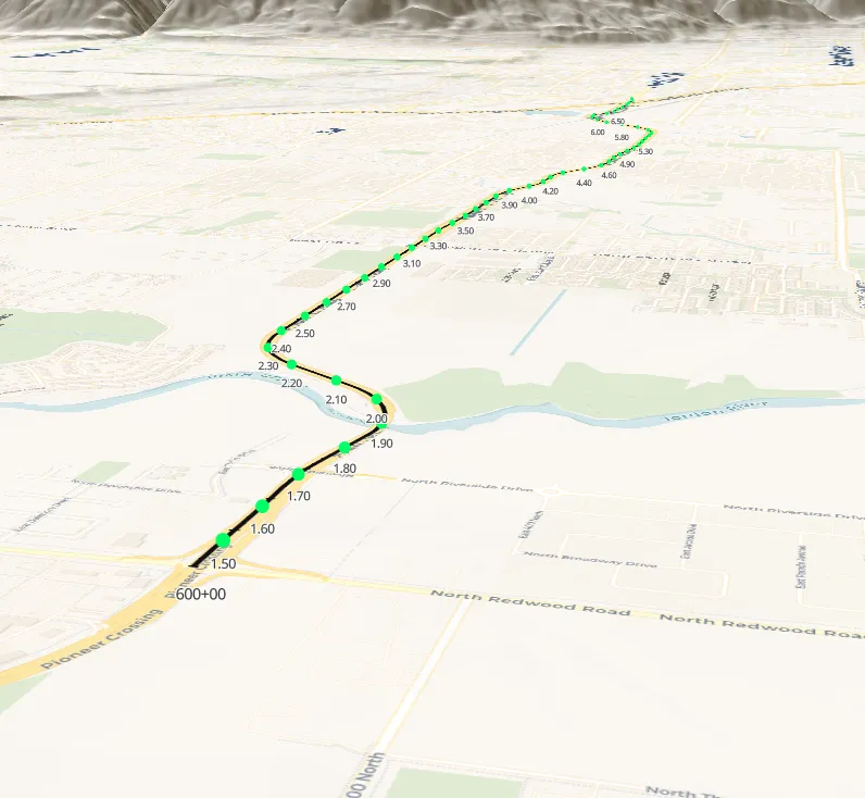
A browser-based GIS toolbox for recurring mapping, conversion, and spatial work across spreadsheets, Google Earth, and Bentley.
Outcomes
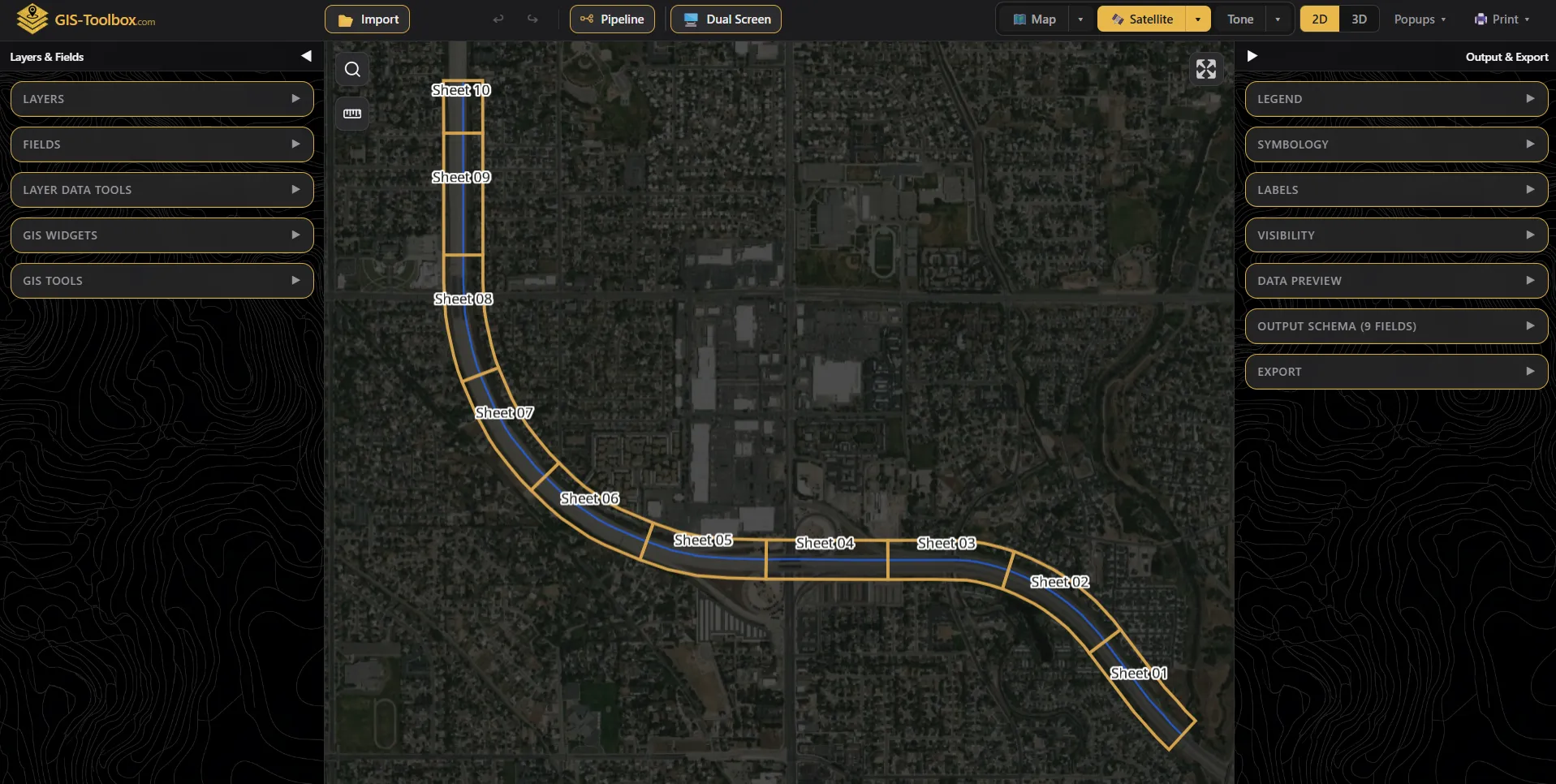
- Import, analysis, and export run in the browser, with no backend.
- Started as one mapping task and grew as repeated procedures became widgets.
- Working files stay local instead of being rebuilt in spreadsheets, Google Earth, and Bentley.
The team kept preparing the same location data for several formats. GIS support was limited, tool access was restricted, and routine tasks often waited on one person. Rebuilding maps in each program duplicated the work.
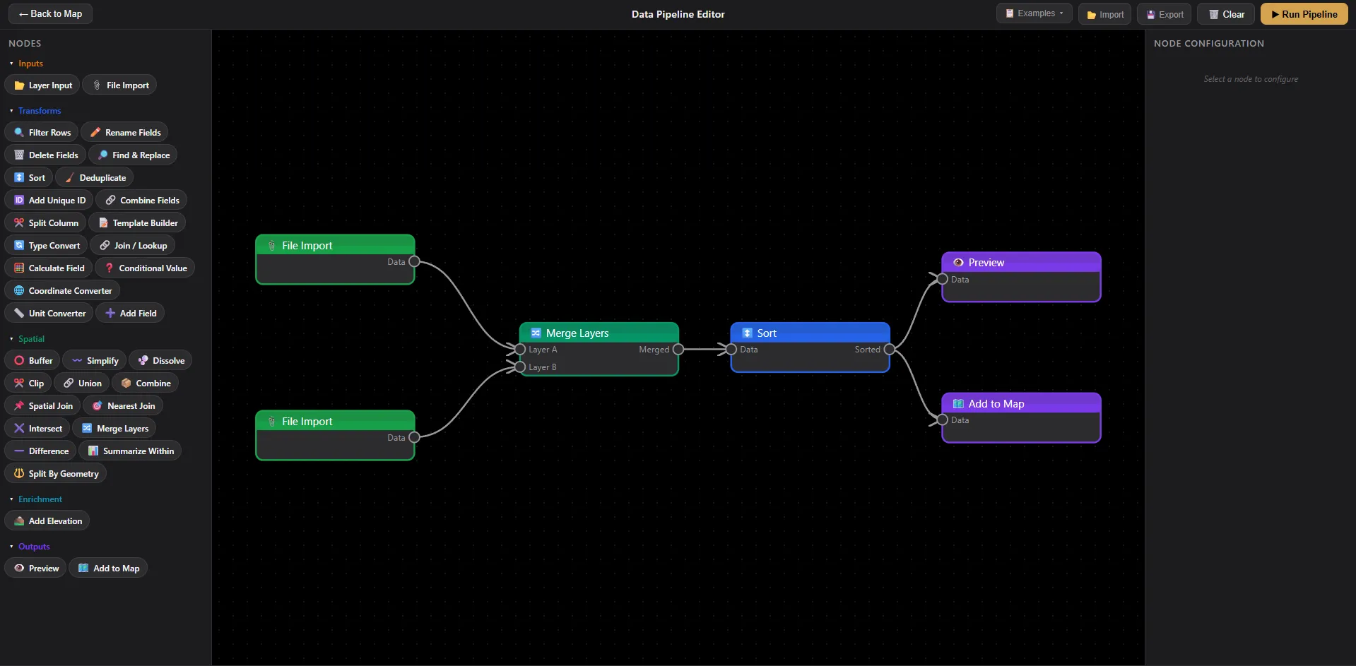
The application started as one mapping task, then added import, common GIS operations, and export. It runs in the browser with no backend, so the working files stay on the machine.
When a procedure kept coming back, it became a widget the team could run without rebuilding the data in spreadsheets, Google Earth, and Bentley.