UDOT Cameras App
A filterable traffic-camera gallery and map for reviewing many UDOT images and related roadway information in one place.
Outcomes
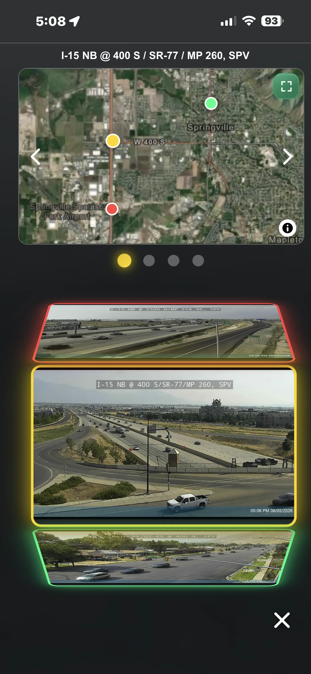
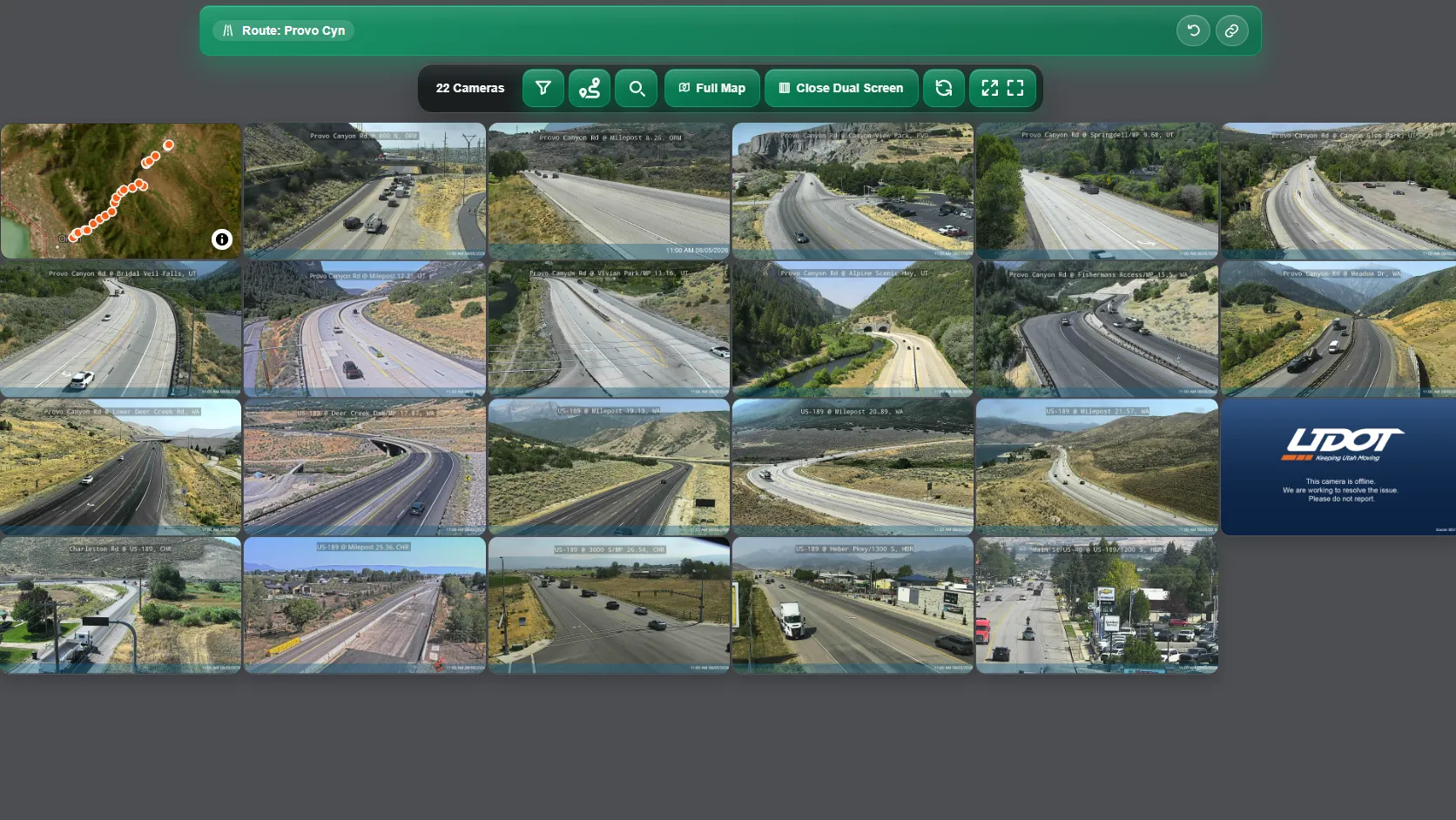
- A filterable gallery shows several public UDOT camera images together.
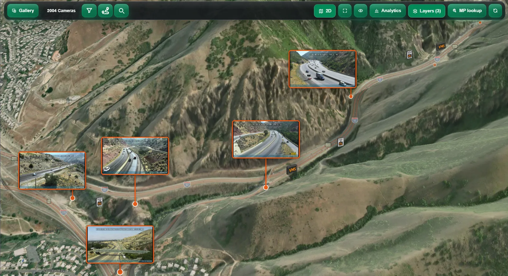
- The map adds TomTom traffic, UDOT incidents and message signs, and route and milepost lookup through the Utah Geospatial Resource Center API.
- A limited set of cameras includes a timelapse of the previous hour.
The goal was to see several public UDOT traffic-camera images at once. The first version was static HTML grids in Google Sites. A UDOT camera-maintenance project manager saw the prototype and recognized it as a way to check availability and image quality across the cameras she managed.
That became a web application with extensive filters and an interactive map. Images refresh on a schedule, so many cameras can be compared without opening each one, for roadway conditions or for camera problems.
Map layers use TomTom traffic data and UDOT APIs for incidents and freeway message signs. Route and milepost lookup uses the Utah Geospatial Resource Center API. A limited set of cameras includes a timelapse of the previous hour.