Utility-Locate Updates Optimization
An ArcGIS Online application that finds gaps in UDOT's Blue Stakes coverage and prepares underground fiber updates for submission.
Outcomes
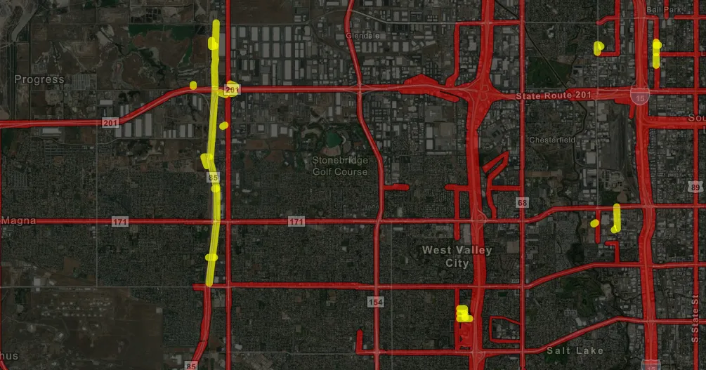
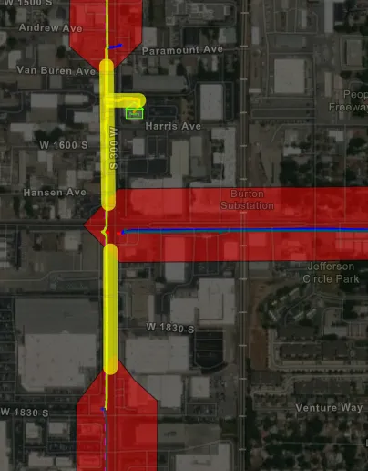
- One map holds the fiber network, existing coverage, and an editable layer for missing routes.
- Drawing a route fills the administrative-area and county fields required for submission.
- Exports lines that Blue Stakes can buffer into coverage polygons.
Years of fiber additions were missing from Blue Stakes of Utah coverage polygons. Those gaps can keep excavation notices from the right utility owner or locator. Updates were drawn by hand in an older application, so a large backlog was hard to clear and later changes were slow to keep up.
Blue Stakes accepted shapefile updates, including lines they buffer into coverage polygons. An Experience Builder application combined the fiber network, existing coverage, and an editable layer for proposed additions.
Staff draw a missing route and the application fills the administrative-area and county attributes. The same map is used to review gaps, prepare the update, and show UDOT where the work stands.
Finished lines export as a shapefile for submission. That replaced one-at-a-time polygon editing with one workflow for the backlog and for ongoing maintenance.